|
Photos and historical notes about Stevens Creek
Stevens Creek Software is named after Stevens Creek, which in turn is named after Elisha
Stephens (yes, with a "ph"). Stephens was the leader of the very first party
of pioneers who successfully brought their wagon party over the Sierra Nevada mountains,
in 1844 (the ill-fated and as a result more famous Donner party was attempting to follow
in the footsteps of the Stephens party). Remarkably, the Stephens party of 50 people
not only made their way west to California without a single lost life, but even arrived
as 52 people, with 2 babies born on the way!
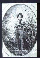
Elisha Stephens
 Stevens Creek drains the eastern slope of the Santa Cruz
mountains. Its headwaters are located near Montebello Open Space Preserve,
on the northern flank of Black Mountain. It makes its way down Stevens
Canyon, along which also runs the San Andreas fault. Coming out of the
mountains, it passes through Cupertino, Sunnyvale, and Mountain View on
its way to San Francisco Bay. Significantly, it is one of the only remaining
largely unchannelized (i.e., natural) creeks remaining in the South Bay
area. For a report on a "birdathon" expedition which walked
the length of the creek in two days, surveying the birds seen and heard
alon the entire corridor, click here. Stevens Creek drains the eastern slope of the Santa Cruz
mountains. Its headwaters are located near Montebello Open Space Preserve,
on the northern flank of Black Mountain. It makes its way down Stevens
Canyon, along which also runs the San Andreas fault. Coming out of the
mountains, it passes through Cupertino, Sunnyvale, and Mountain View on
its way to San Francisco Bay. Significantly, it is one of the only remaining
largely unchannelized (i.e., natural) creeks remaining in the South Bay
area. For a report on a "birdathon" expedition which walked
the length of the creek in two days, surveying the birds seen and heard
alon the entire corridor, click here.
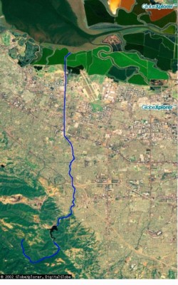
An aerial view of the creek appears at the left.
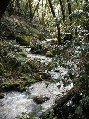
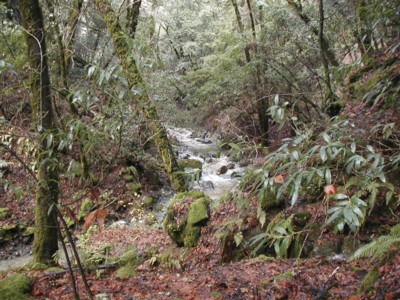
Here are some views of the creek:
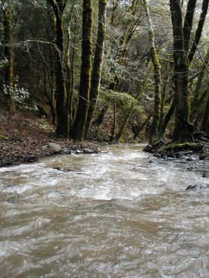
Table Mtn Trail crosses the creek at this spot.
The photographer was up to his thighs in icy water.
This is the view downstream.
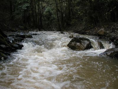
And this is the view upstream.
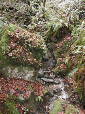
Just uphill from the Table Mtn Trail crossing, a stream
cascades down the hillside and under a small bridge
(upon which the photographer is standing)
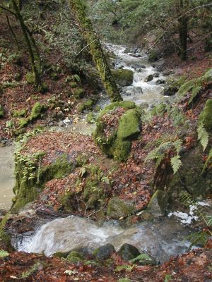
A half-mile upstream, another stream flows into the
creek just above the Grizzly Flat Trail crossing
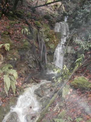
Look up that stream (you don't see this from the trail,
only if you walk upstream 30 yards) and you'll see this
20-foot high cascade pouring water into Stevens Creek
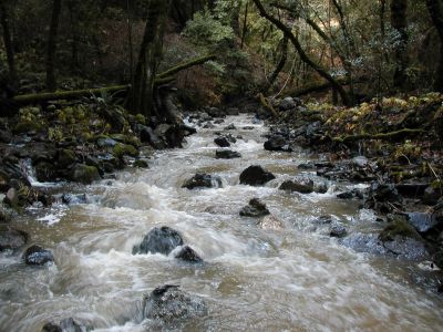
Grizzly Flat Trail crosses the creek at this point
(the photographer gets wet again!)
Follow the Grizzly Flat Trail to the top of the ridge and
on the other side you find Peters Creek, which drains
the western slope of the Santa Cruz mountains on its
way to the Pacific Ocean. OK, its not Stevens Creek,
but we had to include this shot here anyway; after all,
the creek forms a lovely "S" (which is the inspiration
for the logo of Stevens Creek Software)
Similar shot to one above, but in a horizontal format for those
who want to make this into a desktop or screen saver
More pictures
|